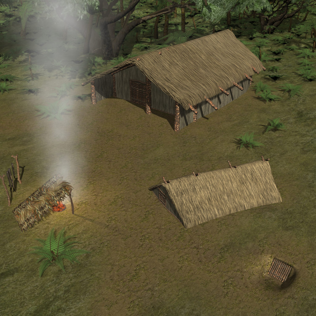
Objective: Incorporate geospatial data, archaeological information and indigenous knowledge to reconstruct past heritage landscape.
These 3D models integrate:
- Geographic data of local landscapes
- Archaeological survey and excavation plans
- Ethnographic information about important heritage places.
3D Model pre-contact Māori settlement created in Unreal Engine 5 (with Thomas MacDiarmid)