Objective: Using Machine Learning and geospatial and temporal data for cultural heritage mapping of archaeological sites in Aotearoa New Zealand.
Using geospatial information with data mined textual information from historic newspapers to create an animation showing the pattern of activity during the 19th Century NZ Wars.
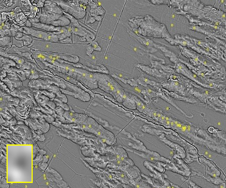
The search for archaeological sites in landscapes using LiDAR and machine learning algorithms to identify possible new sites and map previously recorded sites.